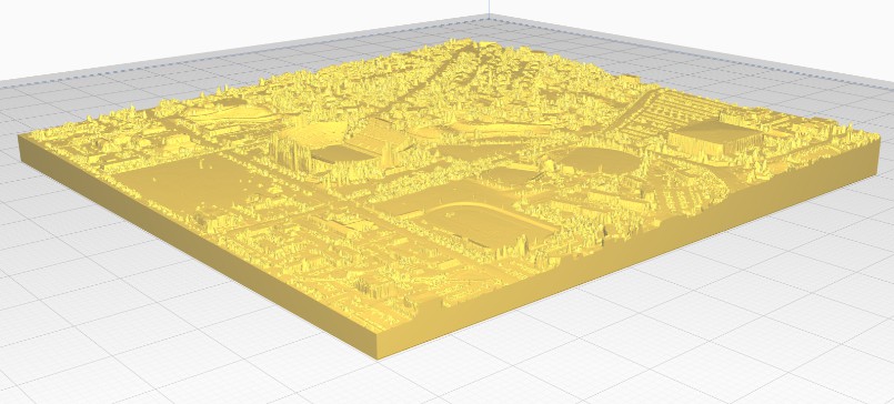
A tool for automatically generating 3D printable STLs from freely available lidar scan data

mini-map-maker
A tool for automatically generating 3D printable STLs from freely available lidar scan data.

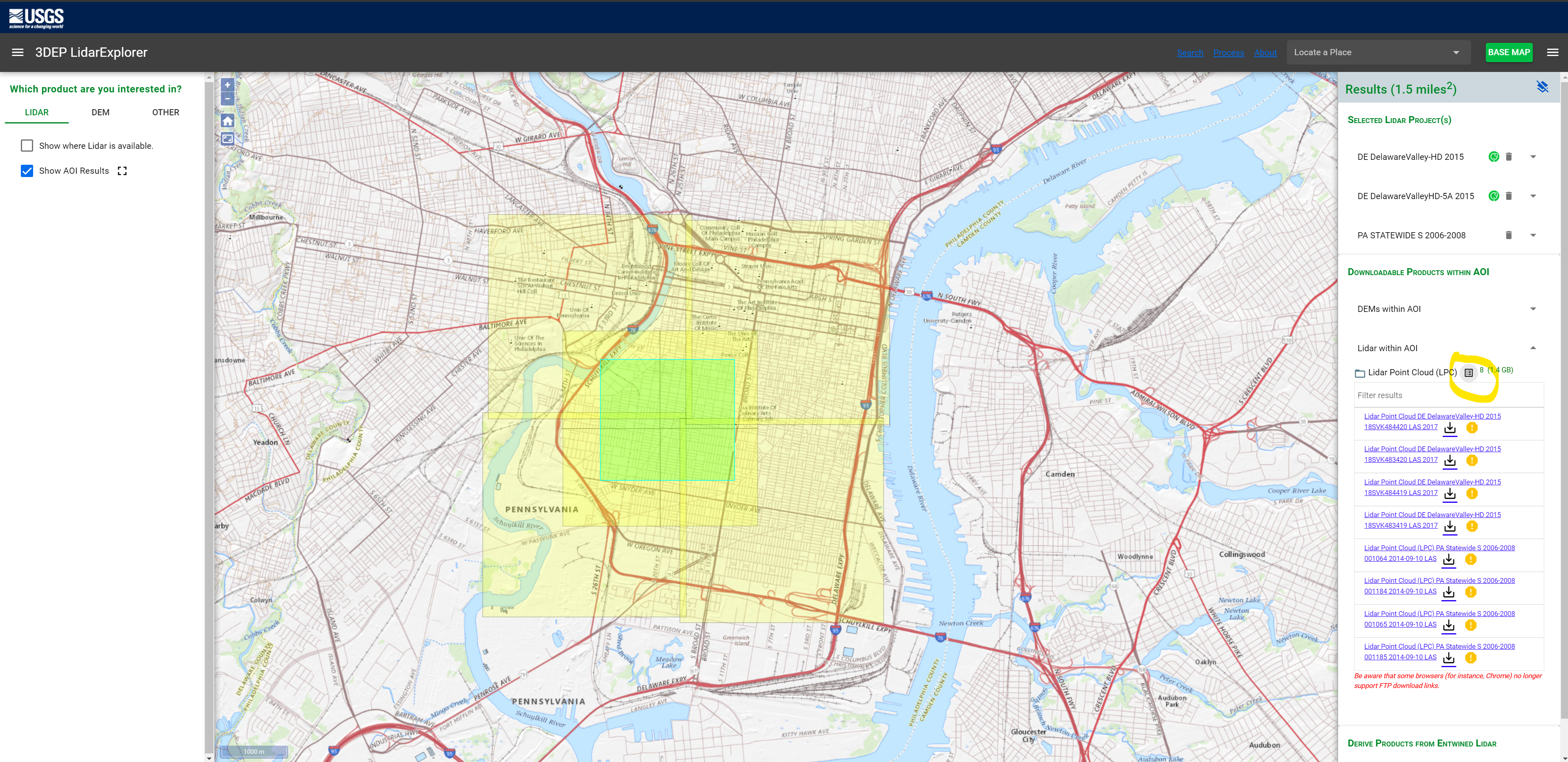
To use this script, go to the USGS LidarExplorer
https://prd-tnm.s3.amazonaws.com/LidarExplorer/index.html#/
Select an area, and then click the “Download list” button under “Lidar within AOI”
This should give you a file called downloadlist.txt. Simply place this text file in the same directory as the script,
and then run the script (convert.py, or convert.exe if you don’t want to deal with Python). By default,
mini-map-maker will generate an STL file for each tile in the lidar data. However, there are quite a few command line
arguments that you can use to customize the output.
>convert.py -h
usage: convert [-h] [--input INPUT] [--reduce REDUCE] [--vscale VSCALE]
[--base BASE] [--merge] [--no_stl] [--cleanup] [--filter FILTER] [--prj]
A