A python parser to parse and investigate Digital Terrain Elevation Data files

DTED Parser
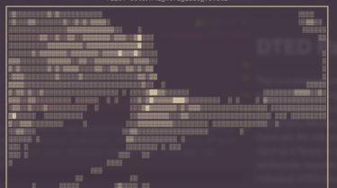
This is a package written in pure python (with help from numpy) to parse and investigate Digital Terrain Elevation Data (DTED) files. This package is tested to work on Shuttle Radar Topography Mission (SRTM) DTED files (as far as I can tell these are the only publicly available DTED files). This can be used as a library to parse these files into numpy arrays and additionally exposes a CLI that can be used to investigate individual DTED files.
For more information and resources about the DTED file format see the end of the README.
How to install
You can install this as a normal python package using pip
pip install dted
How to use
The following example code will parse DTED file checked into